Search results
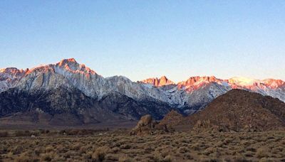
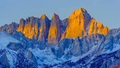
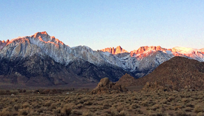
Mount Whitney. Coordinates: 118°17′31″W. Mount Whitney ( Paiute: Tumanguya; Too-man-i-goo-yah) is the highest mountain in the contiguous United States and the Sierra Nevada, with an elevation of 14,505 feet (4,421 m). [1] .
People also ask
Is Mount Whitney a mountain?
What is the Mount Whitney Trail?
Why is Mount Whitney called Mount Whitney?
Where is the Mt Whitney hut?
Oct 22, 2021 · Mount Whitney is located in the region of Sierra Nevada mountain range, California. It is the highest peak in the contiguous United States , with an elevation of 4421 meters. Incidentally, it is also located around 136 kilometers away from Badwater Basin in Death Valley , which is the lowest point in North America, at 86 meters below sea level.
Apr 8, 2024 · Mount Whitney, with an elevation of 14,494 feet, was named for Josiah Dwight Whitney, a Northeasterner and Harvard professor who headed the California Geological Survey, and its first recorded ...
Mount Whitney, of the California Sierra Nevada, holds numerous distinctions. It is the highpoint of both Tulare & Inyo counties. It is the highest peak in the Sierra, & indeed in all of California. Finally, it rises higher than any piece of land in the United States outside of Alaska.
- 14505 ft / 4421 m
- Mountain/Rock
- 36.57860°N / 118.293°W
Dec 6, 2018 · Do's and Don'ts of climbing the tallest mountain in lower 48 US, California's Mount Whitney, in the Sierra Nevada Range, and a packing guide for the hike 35mm film photography and lessons learned from summiting California's 14,505 foot Mt. Whitney, top of the contiguous U.S.
The Mount Whitney Trail is a hiking trail that climbs Mount Whitney, the tallest peak in the contiguous United States. It starts at Whitney Portal, 13 miles (21 km) west of the town of Lone Pine, California. The hike is about 22 mi (35 km) round trip, with an elevation gain of over 6,100 feet (1,860 m).


