Search results
Events
- MAY4
 MusicLos Morros Del Norte W/ YndioChumash Casino Resort8:00 PMMAY4
 MusicRed Hot TributeCopper Blues Oxnard Resturant8:00 PM
 - MAY4
 MusicDJ Alex BarajasCopper Blues Oxnard Resturant10:00 PMMAY5Arts & TheatreDulce SloanOxnard Levity Live7:00 PM
 - MAY9
 MiscellaneousCraig ConantOxnard Levity Live7:30 PMMAY10Arts & TheatreGina BrillonOxnard Levity Live7:00 PM
› Country Location › Continent
Santa Barbara is located about 90 miles (145 km) west-northwest of Los Angeles, along the Pacific coast.
- Guerra Family of California
Antonio Maria de la Guerra was born in 1825 in Santa...
- List of People From Santa Barbara, California
Notable people in Santa Barbara. Douglas Adams, Author;...
- Santa Ynez Mountains
The Santa Ynez Mountains are a portion of the Transverse...
- Mission Santa Barbara
Mission Santa Barbara (Spanish: Misión de Santa Bárbara) is...
- Santa Barbara County, California
Santa Barbara County, officially the County of Santa Barbara...
- Guerra Family of California
Apr 17, 2024 · Welcome to Santa Barbara, where the sun, sea, and mountains create a coastal paradise like no other. The Chumash people initially inhabited the town for… Discover the best of Santa Barbara from sunny beaches to wine tastings and vibrant nightlife with this comprehensive guide.
Santa Barbara Map. Santa Barbara is the county seat of Santa Barbara County, California, United States. Situated on an east-west trending section of coastline, the longest such section on the West Coast of the United States, the city lies between the steeply-rising Santa Ynez Mountains and the Pacific Ocean.
- Santa Barbara, CA
- mailto:help@mapquest.com
Apr 22, 2024 · Santa Barbara, city, seat (1850) of Santa Barbara county, southwestern California, U.S. It lies along the Pacific coast at the base of the Santa Ynez Mountains, facing the Santa Barbara Channel. It is situated 97 miles (156 km) northwest of Los Angeles.
- The Editors of Encyclopaedia Britannica
News about Brad Pitt, Ines de Ramon, relationship
News about California, Visit Santa Barbara, death
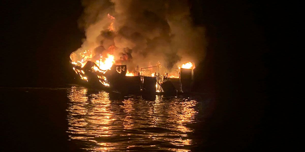
News about Jerry Boylan, Conception dive boat, fire
Also in the news
Located on a pristine stretch of California’s central coastline, Santa Barbara brings together the Golden State’s Spanish influence, laid-back vibe, and upscale sensibility in a way few places can. Here are some ideas to help you make the most of your visit to The American Riviera®.
Jan 7, 2022 · Santa Barbara is located 156 km northwest of Los Angeles and has a mild climate throughout the year due to its location that is protected to the north by the mountains and by the Santa Barbara Islands to the south. Santa Barbara has a total area of 108.8 square km, of which 51 square km of it is land, and 58 square km of it is water.


