Search results
5 days ago · Google Street View lets you see a 360-degree view of your destination before you get there. Google Street View is accessible through Google Maps on both desktop and mobile. You can also use Live...
3 days ago · Columbus, city, Franklin, Fairfield, and Delaware counties, capital (1816) of Ohio, U.S., and seat (1824) of Franklin county. It is situated in the central part of the state on the relatively flat Ohio till plain, at the junction of the Scioto and Olentangy rivers. Columbus is at the centre of a
- The Editors of Encyclopaedia Britannica
3 days ago · map Builder. randymajors.org Map Tools ©2024 randymajors.org. See ZIP Codes on Google Maps and quickly check what ZIP Code an address is in with this free, interactive map tool. Use this ZIP Code lookup map to view ZIP Codes around you, and optionally also overlay U.S. city limits, townships and county lines.
- This ZIP Code map tool shows ZIP Code boundaries on Google Maps. Use the 'Search places' box just above the map to find the ZIP Code for an address...
- You might need to know the ZIP Code for an address to: - determine what ZIP Code an address is located in - determine what ZIP Codes area in a give...
- This ZIP Codes map tool shows ZIP Code boundaries on Google Maps. You can also label the ZIP Codes on the map by checking the box in the lower left...
- To find the county for a ZIP, type the ZIP Code in the 'Search places' box above this ZIP Code County Finder map tool, then check the 'Also show co...
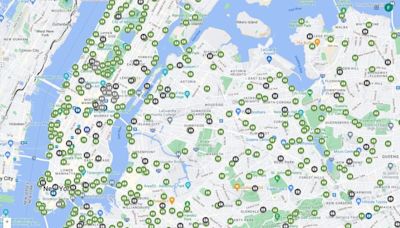
5 days ago · Over 220 countries and territories mapped and hundreds of millions of businesses and places on the map. Get real-time GPS navigation, traffic, and transit info, and explore local neighborhoods by ...
- (23)
- 183 MB
- Internet Tools
- Android
3 days ago · Map, graphic representation, drawn to scale and usually on a flat surface, of features—for example, geographical, geological, or geopolitical—of an area of the Earth or of any other celestial body. Globes are maps represented on the surface of a sphere. Cartography is the art and science of making.
5 days ago · Scroll down the page to the Ohio Townships Map Image. See a Google Map with township boundaries and find township by address with this free, interactive map tool. Optionally also show township labels, U.S. city limits and county lines on the map.


