Search results
1 day ago · Almost 50 square miles on Lake Oroville’s west shore was under evacuation order for the Thompson Fire. The order covers the Oregon City and Kelly Ridge communities and extends into Oroville. The ...
2 days ago · Situation Summary. CAL FIRE/Butte County Fire Department is at scene of a vegetation fire outside of Oroville, CA. Multiple Evacuations are in place and an augmentation of ground and air resources has been ordered. CAL FIRE IMT 6 has been ordered and will be transitioning mid-morning with the Unit. Damage assessment teams have been ordered.
3 hours ago · The next year, in 2018, one of the deadliest wildfires in American history, the Camp fire, killed 85 people and nearly wiped the town of Paradise — about 20 miles north of Oroville — off the map.
13 hours ago · The Thompson Fire started around 11 a.m. on July 2 near Cherokee and Thompson Flat Cemetery roads. Spreading flames have led to evacuation orders expanding, including parts of the city of Oroville ...
2 days ago · The fire ignited off Cherokee Road and Thompson Flat Cemetery Road in Oroville, Calif., at 10:51 a.m. on Tuesday, July 2, 2024. The fire grew to over 2,000 acres and forced many evacuations. In ...
2 days ago · Thompson Fire . 2,995 Acres; 1 County: Butte ... Location Information Cherokee Road and Thompson Flat Road, Oroville . Latitude / Longitude [39.53793,-121.5467] Admin ...
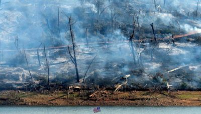
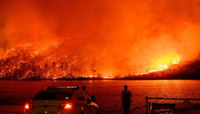
11 hours ago · The Thompson Fire burns above Lake Oroville in Oroville, Calif., on Tuesday. Noah Berger / AP Oroville is no stranger to devastating fires, including the 2018 Camp Fire , which killed 85 people ...


