Search results
The San Francisco Bay Area, commonly known as the Bay Area, is a region of California surrounding and including the San Francisco Bay. The Association of Bay Area Governments defines the Bay Area as including the nine counties that border the estuaries of San Francisco Bay, San Pablo Bay , and Suisun Bay : Alameda , Contra Costa , Marin , Napa ...
Discover the San Francisco Bay Area. Scroll to discover. 17. May. Average (°C) Dec - Feb. 16 °. High. 5 °. Low. Mar - May. 23 °. High. 8 °. Low. June - Aug. 27 °. High. 14 °. Low. Sept - Nov. 26 °. High. 7 °. Low. Dec - Feb. 16 °. High. 5 °. Low. Mar - May. 23 °. High. 8 °. Low. View full forecast. More Ideas.
News about Northern California, earthquake, EU
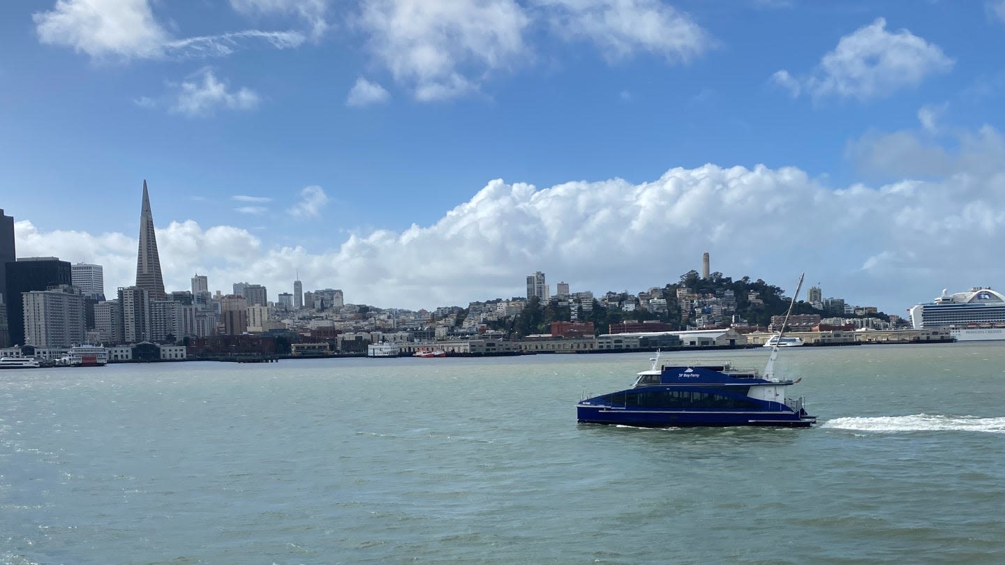
News about hydrogen-powered ferry, Switch Maritime, Sea Change
Also in the news
- Public Transit Payment
- Planning Your Public Transit Trip
- Muni
- Other Public Transit Options
The Clipper Card was fully introduced in 2010 and is a contact-less, multi-agency fare card similar to Octopus in Hong Kong, EZ-Link in Singapore and Charlie Card in Boston. Clipper Cards can be pu...If you plan on using the cable cars during your visit, a MUNI passport is a great value. A one-day passport (either as a scratch card sold at retail locations or loaded onto a Clipper Card) costs $...Without a passport, the basic cash Muni fare is $2.75 ($2.50 Clipper/MuniMobile) for adults and $1.35 ($1.25 Clipper/MuniMobile) for children ages 5-17, seniors 65 and older and the disabled.Since there are multiple overlapping transit systems, the best way to plan your trip is to use an online service which integrates information from the various transit agencies (e.g., 511or a third...Muni arrival times for many lines are available at the bus/train stop (look for an overhead LED display at bus stops) or online at NextMuni. The sites listed above integrate information from NextMu...A portable wallet-sized map of San Francisco and all its public transit (Muni, BART, Caltrain) is also available at stores around the city, at the Powell & Market cable car ticket booth, or through...Again, this is the main system you'll use when you're in the city. Muni consists of several types of trains and buses: 1. Muni Metro (Lines J , K , L , M , N , and T ) is a modern light rail and subway system. It connects many southern and western neighborhoods to downtown, with connections to BART and Caltrain. Outside of the Market Street/Twin Pe...
These are mainly used for getting in and out of the city: 1. BART, the regional metro, has eight stations in San Francisco, making it a nice way to get between well-trafficked parts of the city, especially downtown and the Mission. BART gets you across the Bay to Berkeley and Oaklandand to the airports of San Francisco and Oakland. BART Trains run ...
- Address: 210 Lincoln Blvd. 2 hours to Half Day. TIME TO SPEND. Part of the Golden Gate National Recreation Area, Presidio Tunnel Tops is the nation’s newest national park space and reconnects the city to the bay.
- 5.1 miles to city center. Zoos and Aquariums, Free, Parks and Gardens, Recreation. TYPE. Half Day to Full Day. TIME TO SPEND.
- 0.7 miles to city center. Address: 1 Telegraph Hill Blvd. Monuments and Memorials, Sightseeing. TYPE. Less than 1 hour. TIME TO SPEND.
- 6.3 miles to city center. Address: 680 Point Lobos Ave. Museums, Beaches, Free, Hiking, Historic Homes/Mansions, Monuments and Memorials, Sightseeing.
Historic Sites (133) Nature and Wildlife Tours (113) Fun & Games (59) Wineries & Vineyards (1,122) Bus Tours (353) Sailing (17) Islands (3) Historical Tours (181) Wine Tastings (159) Neighborhoods (43) Culinary Tours (33) Sunset Cruises (5) Parks (1,096) Private Sightseeing Tours (334) Museum Tickets & Passes (19) Theaters (135)
People also ask
What is the San Francisco Bay Area?
What cities are in the Bay Area?
Is San Francisco a densely populated area?
How many counties are in the San Francisco Bay Area?
Major Cities. The San Francisco Bay Area region is moderately to densely populated, with the cities of San Francisco and San Jose’s populations breaking more than 1 million people. Alameda. Benicia. Berkeley. Calistoga. Concord. Fremont. Half Moon Bay. Livermore. Marin. Napa. Oakland. Pleasant Hill.


