Search results
- www.accuweather.com
- › …
- › United States
- › Virginia
- › Boydton
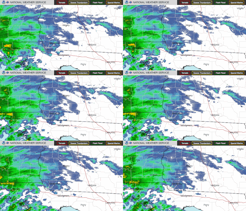
See the latest Texas Doppler radar weather map including areas of rain, snow and ice. Our interactive map allows you to see the local & national weather.
Tarrant County. Denton County. Metro Radar
Radar. Satellite. Fronts. Severe Tropical Storms. Wildfires. Weather Underground’s WunderMap provides interactive weather and radar Maps for weather conditions for locations worldwide.
1 day ago · NWS Fort Worth/Dallas. Weather.gov > Fort Worth/Dallas, TX. Current Hazards. Current Conditions. Radar. Forecasts. Rivers and Lakes. Climate and Past Weather. Local Programs. Click a location below for detailed forecast. Last Map Update: Sun, May. 19, 2024 at 7:27:34 pm CDT. Watches, Warnings & Advisories. Zoom. Out. Flood Warning.
Current Radar (Intellicast) The Current Radar map shows areas of current precipitation. Radar Summary. The NOWRAD Radar Summary maps are meant to help you track storms more quickly and...
Latest Weather Stories. Thunderstorms return this week. 8 killed as result of severe Houston-area storms. ... Radar. Regional HD. Regional HD. Collin County HD. Dallas County HD. Denton County HD ...
Featuring high-resolution radar data, keep an eye on Mother Nature down to street level. Stay informed about Texas weather with our interactive radar. Track storms and monitor precipitation levels for reliable real-time updates to keep you safe.


