Search results
Starting June 30, 2024, vehicles entering the Congestion Relief Zone in Manhattan—local streets and avenues at or below 60 St—will be charged a toll, relieving crowding in what is today the most congested district in the United States. Read more about the Congestion Relief Zone. Common actions. Look up planned service changes.
2 days ago · New York City Transit. We manage, maintain, and run subway and bus service in New York City. Contact Agency. Common tasks. Find out more about fares Details about transit fares, MetroCards, and contactless payments. See planned service changes Travel alternatives when we’re making repairs and improvements. Contact lost and found Lost something?
Find out how much it costs to ride the subway, the bus, Long Island Rail Road, and Metro-North in the New York area, how transfers work, your options for reduced fares, and where to buy tickets or a MetroCard.
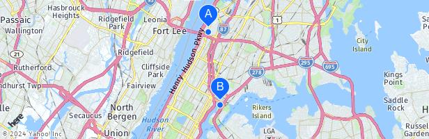
Downloadable maps for New York transit, including subways, buses, and the Staten Island Railway, plus the Long Island Rail Road, Metro-North Railroad, and MTA Bridges and Tunnels.
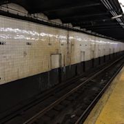
New York City's digital subway map. See real-time, nighttime, and weekend subway routes, train arrival times, service alerts, emergency updates, accessible stations, and more.
Staten Island Railway. View LIRR schedules and Metro-North schedules and fares and download MTA railroad, bus, and subway timetables.
Aug 25, 2023 · 472 subway stations. 665 miles of track. 5,780 vehicles in our bus fleet, all of which are 100% accessible to riders with disabilities. 234 local bus routes, 20 Select Bus Service routes, and 73 express bus routes in the five boroughs.