Search results
Jan 24, 2024 · New York Map. Map of New York State - Click to see large: 1360x1106 | 1600x1302 | 2000x1627. Description: This map shows boundaries of countries, states boundaries, the state capital, counties, county seats, cities, towns, islands, Finger lakes, lake Ontario, lake Erie and Atlantic ocean in New York State. Size: 2000x1627px / 1.2 Mb;
- New York Road Map
Description: This map shows cities, towns, interstate...
- New York Highway Map
Description: This map shows cities, towns, interstate...
- New York Road Map
1 day ago · New York State Map. General Map of New York, United States. The detailed map shows the US state of New York with boundaries, the location of the state capital Albany, major cities and populated places, rivers and lakes, interstate highways, principal highways, railroads and major airports.
Feb 14, 2023 · Physical map of New York showing major cities, terrain, national parks, rivers, and surrounding countries with international borders and outline maps. Key facts about New York.
Categories: global city, port settlement, city in the United States, big city, largest city, city in the state of New York, metropolis, megacity and locality. Location: Downstate New York, New York, Mid-Atlantic, United States, North America. View on OpenStreetMap. Latitude.
News about NY, cannabis industry, rollout
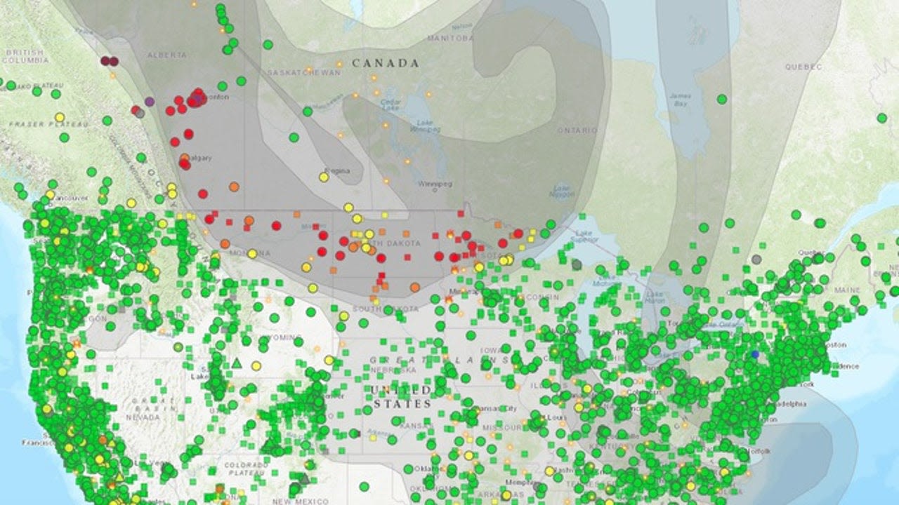
News about Canadian wildfires, NYC schools, air quality
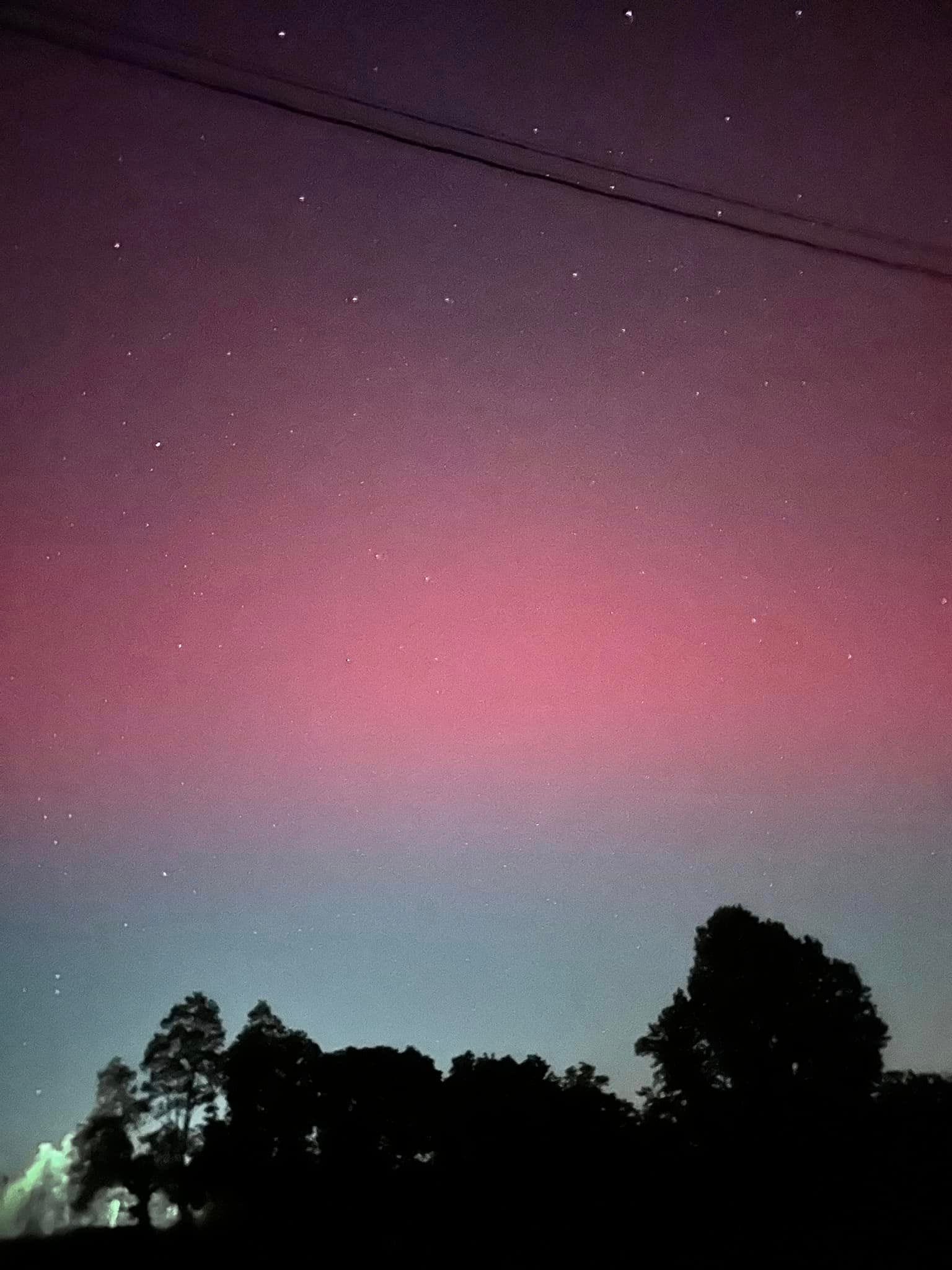
News about Northern Lights, solar storm, forecast
Also in the news
- New York City Tourist Map – Free Download
- NYC Insider Printable Guides
- Free NYC Insider Mini Guide
- Detailed Map of Manhattan NY
- NYC Maps, Subway, Streets, Apps, Directions
This is a one page New York City Tourist Map that includes all the major NYC Tourist Attractions. It works best when using our New York City Vacation Planner.
"The guides are exactly what we were looking for to help us navigate NYC and the highlights of each area. THANK YOU for taking the time to put this together." "Amazing, Melissa. This is my second copy! Congratulations for this always excellent guide. I have been living in this area for 18 years, but I still leave the guide as a treat when people co...
Download the New York City Tourist Map in the free NYC Insider Mini Guide, which also includes: 1. A weekly chart of many of the Free NYC Museum Days and Times, along with free weekly neighborhood tours 2. A current list of the major attraction costs (Adult prices only), so you can budget and see which New York City Attractions Passis right for you...
A good, detailed map of Manhattan online can be a challenge to find. So the NYC Insider Guide created one that includes NYC Manhattan Street Maps and Manhattan neighborhood maps. The Printable Guide to New York Citytells you the best things to do, see, eat and stay in every Manhattan Neighborhood.
New York City Tourist MapPeople also ask
Where can I find a map of New York City?
Where is New York located?
How many maps of New York are there?
How to find the main attractions of New York?
New York Map - Mid-Atlantic, United States. North America. USA. Mid-Atlantic. New York. The state of New York is a state of superlatives. Of course everyone knows the Big Apple, New York City, and it's certainly a premier travel destination, but the state is so much more than just one famous metropolis. ny.gov. Wikivoyage. Wikipedia.
Below is a list of the 12 maps of New York you’ll find in this article. You can print them out or save them on your smartphone so you can check them at any time. New York tourist map. New York interactive map. Manhattan map. Map of the main attractions in New York. Central Park map. New York street map. New York neighborhood map.


