Search results
See the latest Ohio Doppler radar weather map including areas of rain, snow and ice. Our interactive map allows you to see the local & national weather
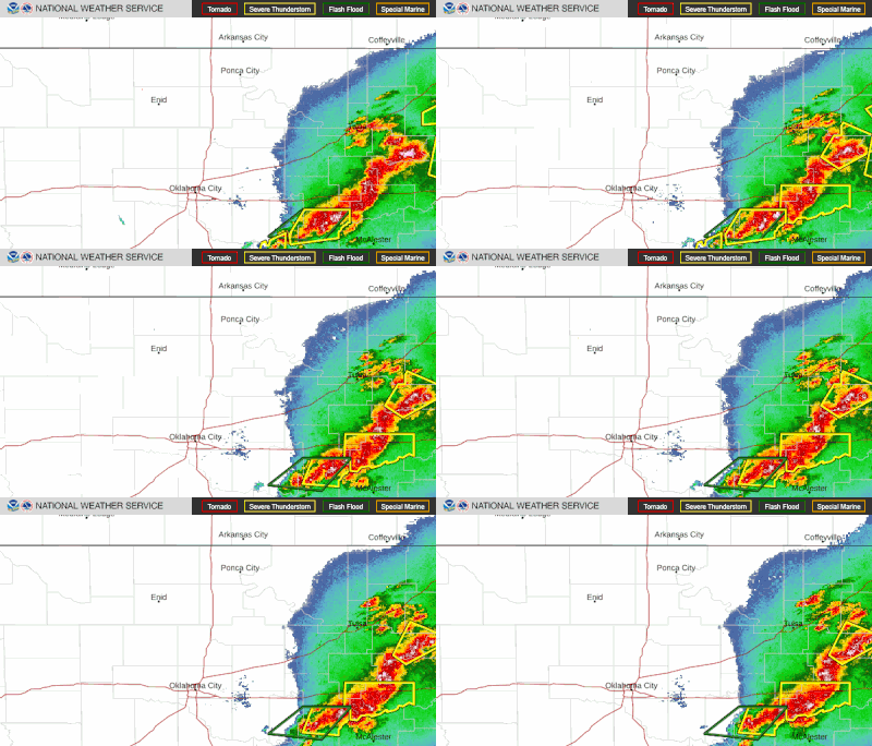
The Current Radar map shows areas of current precipitation. A weather radar is used to locate precipitation, calculate its motion, estimate its type (rain, snow, hail, etc.), and forecast its ...
Radar. Satellite. Fronts. Severe Tropical Storms. Wildfires. Weather Underground’s WunderMap provides interactive weather and radar Maps for weather conditions for locations worldwide.
You can find the forecast for the days ahead in the weather details tab below. Weather Details. US Satellite & Radar. World Satellites. Severe. Health.
Interactive world weather map. Track hurricanes, cyclones, storms. View LIVE satellite images, rain radar, forecast maps of wind, temperature for your location. Zoom Earth is an interactive weather map of the world. Explore the current weather and see forecasts for your location through interactive maps of rain, wind, temperature, pressure, and ...
National Weather Maps. Surface Analysis. Highs, lows, fronts, troughs, outflow boundaries, squall lines, drylines for much of North America, the Western Atlantic and Eastern Pacific oceans, and the Gulf of Mexico.
Georgia Wind Chill Map; Sortable Currents in Georgia; Atlanta Doppler Radar; Closings Due to Weather; Radar. Future Radar; Site-Specific Doppler; Severe Weather Browser; Total Rainfall (Radar Estimated) Satellite. 7-Day Composite Satellite Loop; 3-Day Infrared Satellite Loop; 3-Day Water Vapor Loop (Color) Regional Satellite Loops; Severe ...


