Search results
See United States current conditions with our interactive weather map. Providing your local temperature, and the temperatures for the surrounding areas, locally and nationally.
Zoom Earth is a live weather map and hurricane tracker that lets you explore the world in stunning detail. You can view satellite images, rain radar, wind speed forecast maps and more for any place on the planet. Whether you want to track hurricanes, tropical storms, severe weather or just enjoy the beauty of nature, Zoom Earth is the perfect tool for you.
Live wind, rain, radar or temperature maps, more than 50 weather layers, detailed forecast for your place, data from the best weather forecast models with high resolution
News about BBC, weather map, lifetime subscription
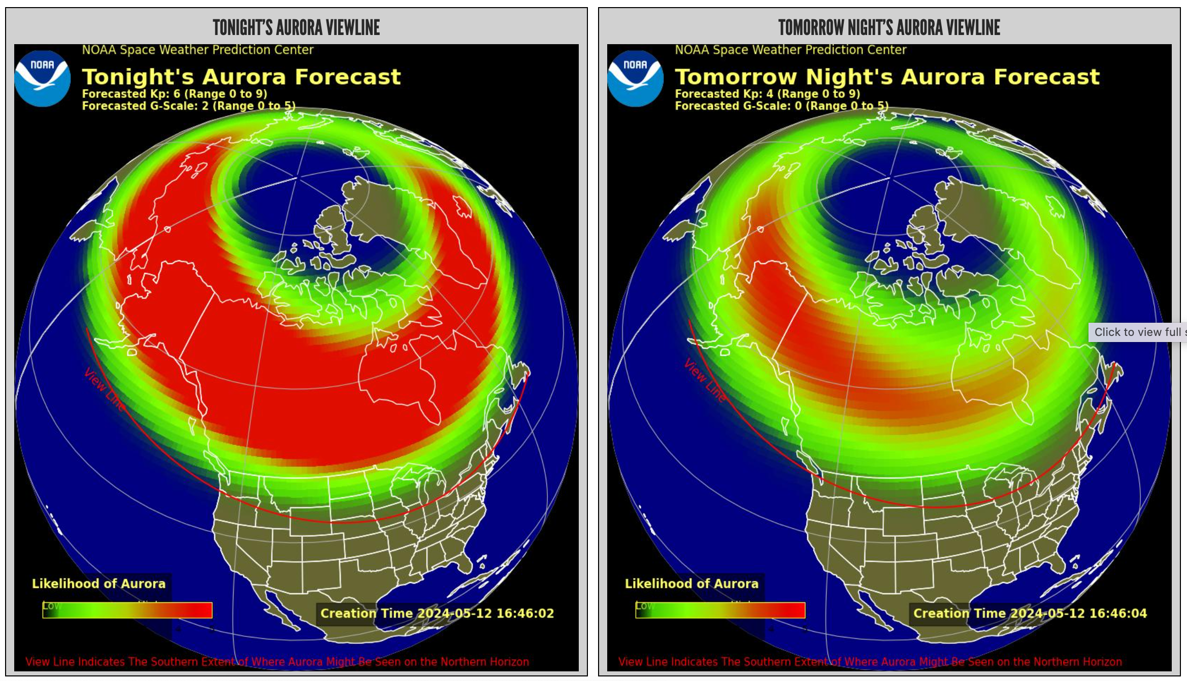
News about Michigan, Northern Lights, geomagnetic storm
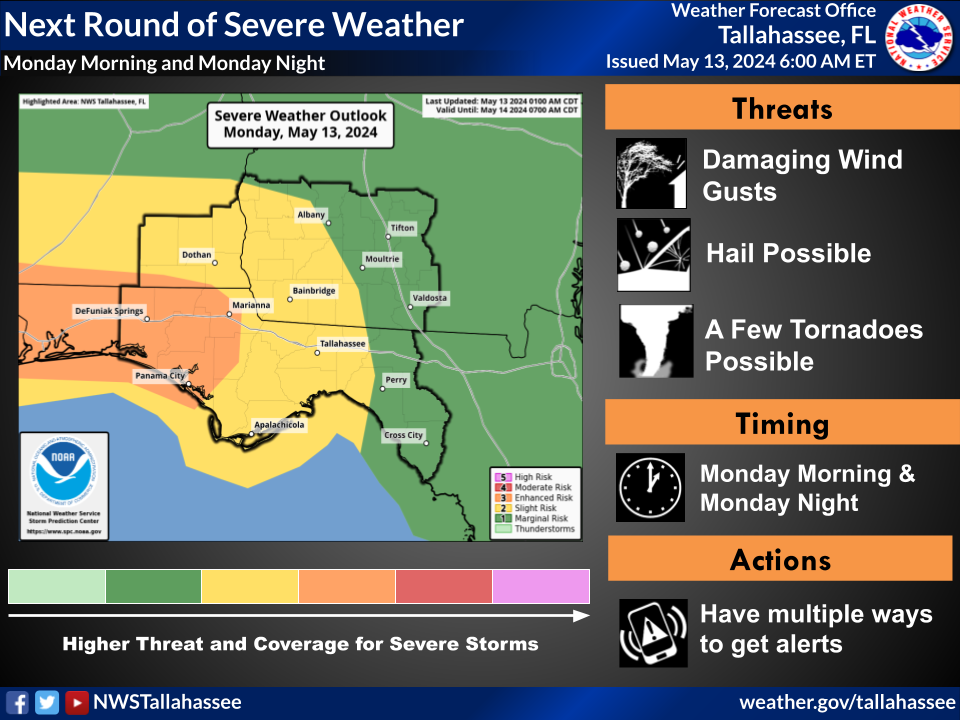
News about Tallahassee, severe weather, storms
Also in the news
Find the latest weather forecasts, warnings, and alerts for your location and across the U.S. with NOAA's National Weather Service.
Jan 21, 2010 · Home > National Maps. This current Forecast for North America is produced by the Hydrometeorological Prediction Center of the National Centers for Environmental Prediction. It is normally updated at about 7am US Eastern time. Warnings & Forecasts.
Explore OpenWeather's interactive weather map focused on temperature, wind, presssure percipitation and clouds overlays, featuring detailed city information. Customize your view with various layers and zoom levels.
NOAA National Weather Service National Weather Service. Click on the map above for detailed alerts or


