Search results
Aug 12, 2024 · The magnitude 7.9 Fort Tejon earthquake (1857) shook 631 times more intensely than did either of the magnitude 5.1 earthquakes in La Habra (2014) and Ojai (2023). The Tejon quake also released 15,849 times the energy than did either of the two smaller quakes.
- Probability of a Major Earthquake in The Los Angeles Region
Within the next 30 years (from 2014), the probability of a...
- Modified Mercalli Intensity Scale
The Los Angeles Basin - A Huge Bowl of Sand; Largest &...
- Great Fort Tejon Earthquake 1857
Home | All Almanac Topics | Earthquakes Great Fort Tejon...
- Probability of a Major Earthquake in The Los Angeles Region
People also ask
Where is the largest earthquake in California?
Are earthquakes more likely to occur in the Los Angeles region?
How many earthquakes a year in California?
Where do earthquakes occur in California?
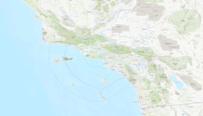
3 hours ago · Map shows the 4.7-magnitude earthquake that rattled Southern California early Thursday morning. USGS. The magnitude was originally reported at 5.1, but it has since been downgraded. A 2.8 ...
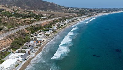
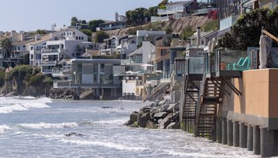
3 hours ago · Share. LOS ANGELES (AP) — A 4.7 magnitude earthquake rattled the Los Angeles area Thursday morning, unleashing boulders onto a Malibu road, visibly shaking Santa Monica’s 1909 wooden pier and jolting some people from bed. No injuries or damages were immediately reported. The U.S. Geological Survey said the earthquake was centered 4 miles (7 ...
18 hours ago · A magnitude 4.7 earthquake shook Southern California just outside Los Angeles early this morning. According to the U.S. Geological Survey (USGS), the quake's epicenter was located about 4.5 miles ...
Aug 18, 2024 · This latest magnitude 5.2 earthquake is the largest to hit Southern California in three years. The epicenter was about 17 miles (27km) south of Bakersfield, California, and people reported...
18 hours ago · Then on Aug. 12, a 4.4-magnitude earthquake struck near the Los Angeles suburb of Pasadena, shaking densely populated neighborhoods on the city’s east side. ... Democrats are the biggest no-shows.
Sep 4, 2024 · List of Earthquakes for Los Angeles. Recent Earthquakes in California and Nevada. Los Angeles Special Map. Click on an earthquake on the above map for more information. Update time = Wed Sep 4 10:00:01 2024. Here are the earthquakes appearing on this map, most recent at top ...


