Search results
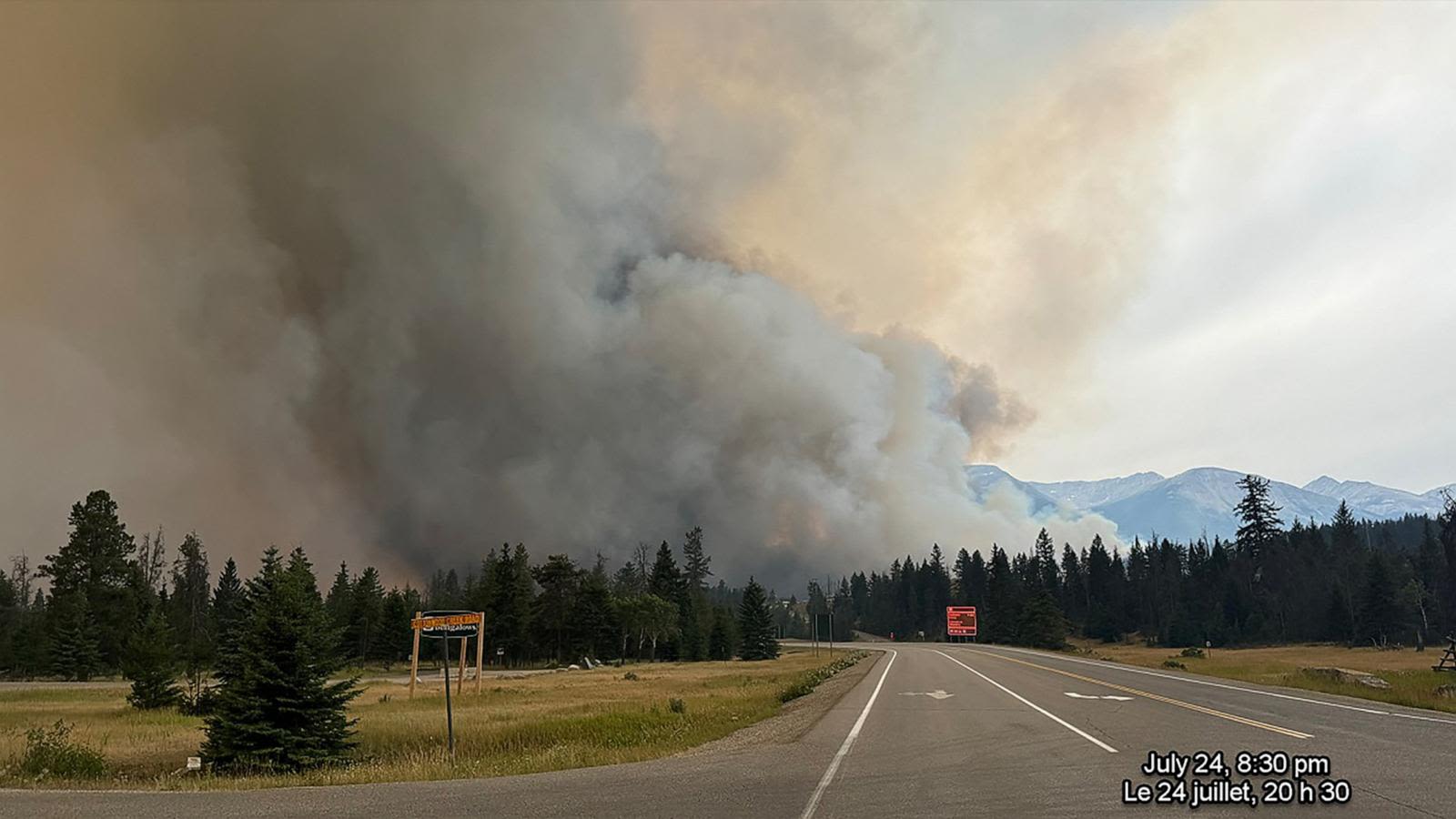
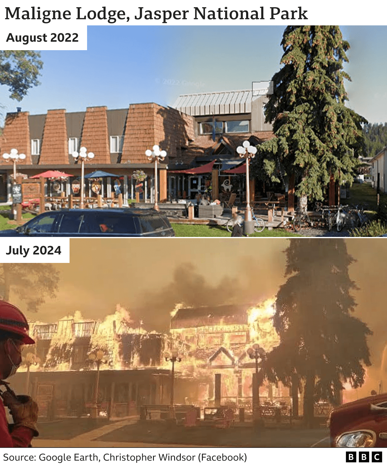
News about Jasper, Canadian, wildfire
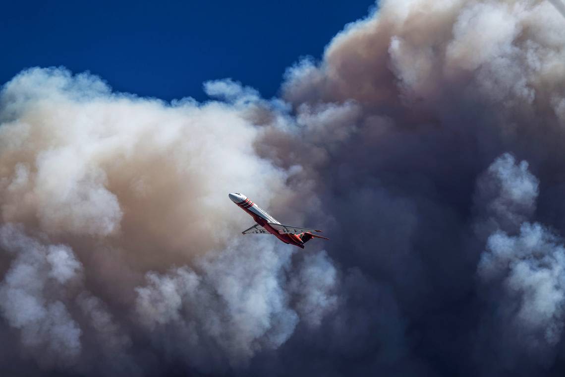
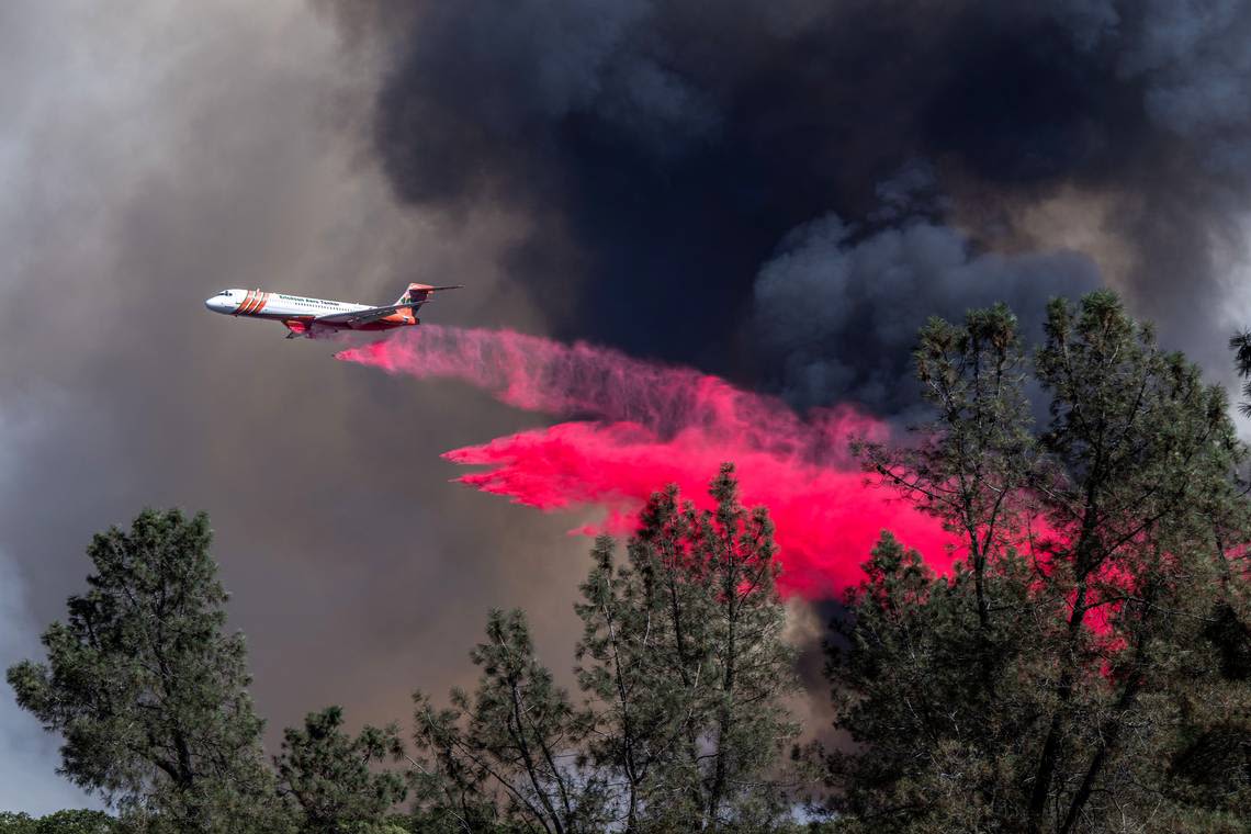
News about California, Park Fire, National Weather Service
Learn more about our data processing steps. The Fire and Smoke Map shows two types of fires: large fire incidents , from U.S. National Interagency Fire Center, and satellite fire detections. Note: Satellites find fires by sensing temperatures on the ground and then looking for areas with the same temperature as a fire.
- Fire and Smoke Map
About the Data. The Fire and Smoke Map shows information on...
- AIRNow
AirNow is your one-stop source for air quality data. Our...
- Fire and Smoke Map
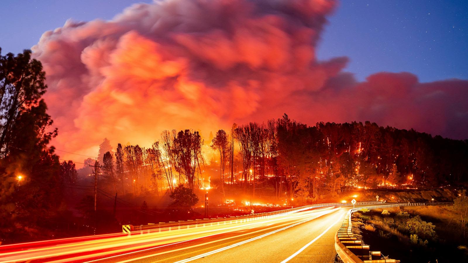
22 hours ago · The Park Fire is this year's largest wildfire in California - and it's been burning for less than two days. In that time, it's torched over 160,000 acres.The record-breaking fire burned 71,000 ...
3 hours ago · The blaze, known as the Park fire, was burning near Chico, north of Sacramento.It was only 3 percent contained by firefighters as of Friday morning, and conditions were ripe for it to continue to ...
2 days ago · CAL FIRE Butte on scene establishing unified command with @ChicoFD on a fire in Upper Bidwell Park. 500 acres burning to the north of the park. Evacuation warnings in place. Evacuation warnings in place.
1 day ago · Park Fire reaches 45,000 acres — mandatory evacuation orders for numerous zones The Park Fire was reported shortly before 3 p.m. Wednesday in Upper Bidwell Park, the California Department of ...
7 hours ago · BUTTE COUNTY, Calif — The Park Fire continued spreading overnight northeast of Chico with evacuations in both Butte and Tehama counties Friday. Cal Fire said the fire is at 164,282 acres and 3% ...
People also ask
How many acres was the park fire?
Where is the California Park fire?
Where is the smoke coming from the park fire?
How did the park fire start?
Our mission as the Columbus Division of Fire is to serve our community by preventing emergencies through education and inspection. Minimizing injury, death, and property destruction due to fire, natural disaster and other emergencies while providing timely and effective emergency medical services. Safety City - Nationwide Children's.
