Search results
El Paso, Texas - Westside. Sign in. Open full screen to view more. This map was created by a user. Learn how to create your own. El Paso, Texas - Westside. El Paso, Texas - Westside ...
El Paso Map. El Paso, is a city in and the county seat of El Paso County, Texas, United States, and lies in far West Texas. In the 2010 census, the city had a population of 649,121. It is the sixth largest city in Texas and the 19th largest city in the United States.
The Map shows a city map of El Paso with expressways, main roads, and streets, El Paso International Airport (IATA code: ELP) is located 4.3 miles (7 km) by road, northeast of the central business district. To find a location use the form below. To view just the map, click on the "Map" button.
- mapcarta.com
- › North America
- › USA
- › Texas
- › El Paso
El Paso Map - Texas, United States. North America. USA. Texas. El Paso is the sixth largest city in Texas, with 679,000 residents. It is on the United States-Mexico border. The city on the other side of the border is Ciudad Juarez, Chihuahua. Map. Directions. Satellite. Photo Map. elpasotexas.gov. ci.el-paso.tx.us. rgfn.epcc.edu. Wikivoyage.
News about Google Maps, Android, redesign
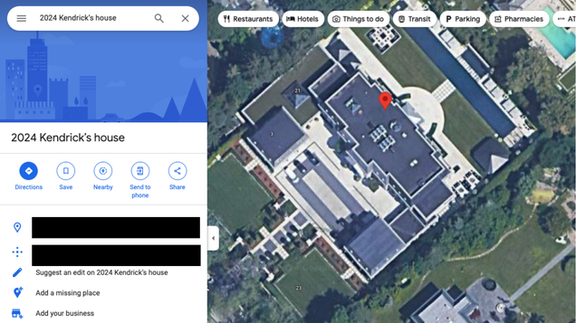
News about Google Maps, Kendrick Lamar, Drake
Also in the news
El Paso. Open full screen to view more. This map was created by a user. Learn how to create your own. ...
Jan 27, 2024 · Interactive Map of El Paso. The El Paso map is an interactive tool that gives you a bird’s eye view of the city. You can zoom in and out at any point and get a really good look at the neighborhoods. This map includes all of the top attractions as well as a detailed street-level view of the city.
The satellite view will help you to navigate your way through foreign places with more precise image of the location. View Google Map for locations near El Paso : Canutillo, Socorro, Strauss, Vinton, La Union. Interactive Map of El Paso area.


