Search results
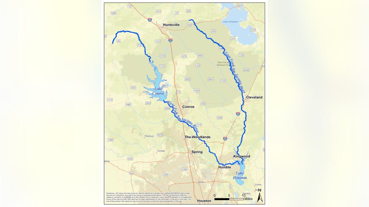
Jul 9, 2018 · Nineteen inundation maps and detailed flood information from Hurricane Harvey are now available from the U.S. Geological Survey, in cooperation with the Federal Emergency Management Agency.
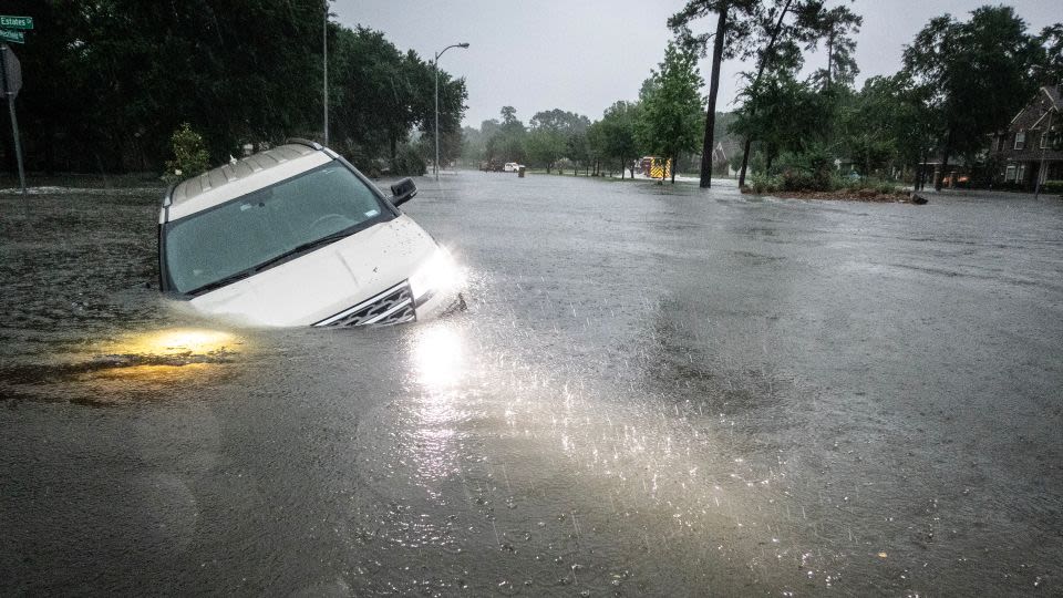
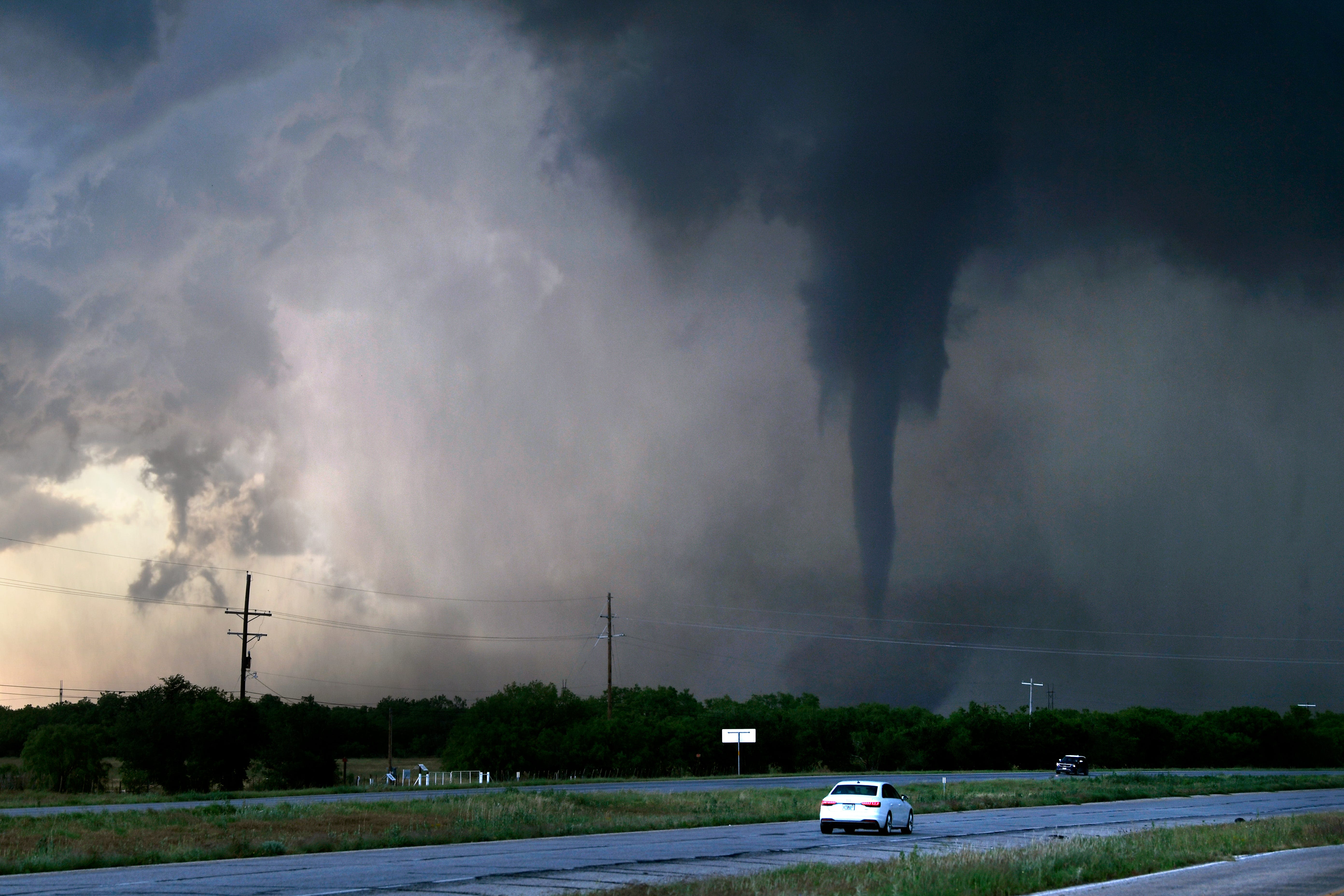
News about Texas, flooding, tornadoes
News about Harris County, mandatory evacuation, disaster declaration
News about Corpus Christi, Watergarden, grand reopening
Also in the news
Jul 9, 2018 · The U.S. Geological Survey has deployed storm-tide sensors, forecast what coastal change to expect, and is ready to measure the extent of flooding likely to result from this powerful storm, Hurricane Harvey.
Aug 25, 2023 · Hurricane Harvey caused unprecedented destruction in Texas and Louisiana, resulting in 103 lives lost and an estimated $125 billion of damage. The aftermath has highlighted the need for better disaster preparedness by investing in resilience, community preparedness and planning for extreme flooding.
Mar 18, 2021 · Hurricane Harvey is on track to become the second-costliest U.S. natural disaster — only Hurricane Katrina that struck the Gulf Coast in 2005 caused more damage. Although the damage estimates are high, federal, state and local funds along with nonprofit assistance, volunteer hours and donations have helped Texans recover.
moderate to pockets of major structural damage were observed along the packery channel jetties.port aransas...widespread damage with more than 6600 homes impacted...with more than 4000 experiencing major damage and more than 1000 destroyed.
Jan 8, 2018 · Hurricane Harvey, which sparked extreme flooding in Houston and the surrounding area in August and September, caused $125 billion in damage, the year’s most expensive disaster. Hurricane...
Harvey rapidly weakened over land to a tropical storm within 12 h after landfall and maintained a 35-kt intensity for the next day or so, aided by the sustaining effects of the southeastern portion of its circulation remaining over water.
