Search results
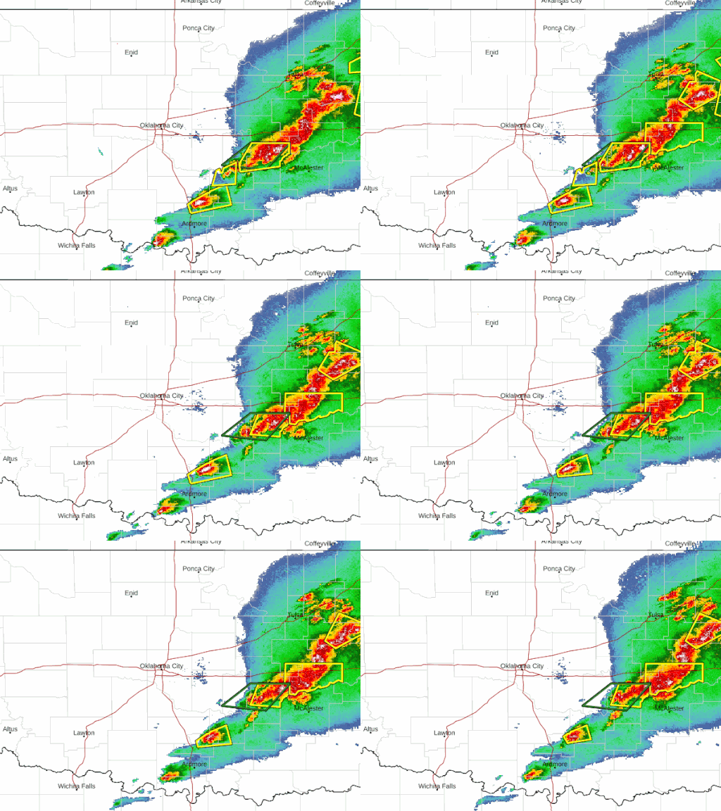
The NWS Radar site displays the radar on a map along with forecast and alerts. The radar products are also available as OGC compliant services to use in your application. Enhanced Radar Standard Radar (Low-Bandwidth)
Doppler Radar National Mosaic. High Resolution Version | National Radar Sites | Static Image | Loop Alaska | Guam | Hawaii | Puerto Rico
The severe thunderstorms and excessive rainfall will expand from east Texas into the Mississippi Valley on Sunday. Read More >. ACTIVE ALERTS. FORECAST MAPS. RADAR. RIVERS, LAKES, RAINFALL. AIR QUALITY. SATELLITE. PAST WEATHER.
Interactive weather map allows you to pan and zoom to get unmatched weather details in your local neighborhood or half a world away from The Weather Channel and Weather.com.
Radar Satellite Snow Cover Marine River/Stream Surface Weather Observed Precip. Text Bulletins. By State By Type National: Forecasts. Local Graphical Aviation Marine River/Stream Hurricanes Severe Weather Fire Weather Sun/Moon. Forecast Models. Numerical Models Statistical Models MOS Prod GFS-LAMP Prod
See the latest United States Doppler radar weather map including areas of rain, snow and ice. Our interactive map allows you to see the local & national weather
National Weather Maps. Surface Analysis. Highs, lows, fronts, troughs, outflow boundaries, squall lines, drylines for much of North America, the Western Atlantic and Eastern Pacific oceans, and the Gulf of Mexico.


