Search results
The detailed British Columbia map on this page shows the province's major roads, railroads, and population centers, including the British Columbia capital city of Victoria, as well as lakes, rivers, and national parks. To zoom in on the detailed British Columbia map, click or touch the plus ( +) button; to zoom out, click or touch the minus ...
Nov 10, 2023 · World Map » Canada » Province » British Columbia. British Columbia (BC) Maps ... Large detailed map of British Columbia with cities and towns. 1429x2435px / 1.9 Mb Go to Map. British Columbia road map. 1802x1577px / 1.62 Mb Go to Map. British Columbia national parks map. 2405x2405px / 711 Kb Go to Map. About British Columbia. The Facts ...
Interactive Map of British Columbia | Super, Natural BC. Explore popular tourist areas, activities and travel ideas, visitor centres, accommodations and more with our interactive map of British Columbia.
Map of British Columbia. Get ready for an exhilarating adventure – a spectacular journey from Sea to Sky…. Destination: Super, Natural British Columbia, Canada. Explore Victoria, Vancouver Island and the BC Gulf Islands, Whistler, Vancouver and Greater Vancouver, the Cariboo and Chilcotin, the Thompson Okanagan, the Kootenay Rockies, the BC ...
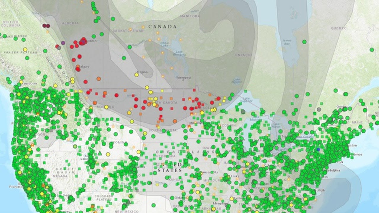
News about Minnesota, air pollution, Canada
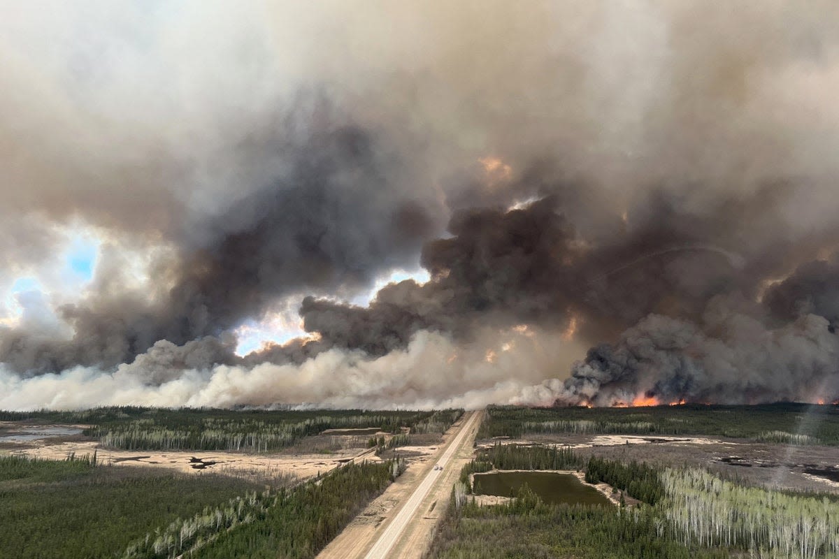
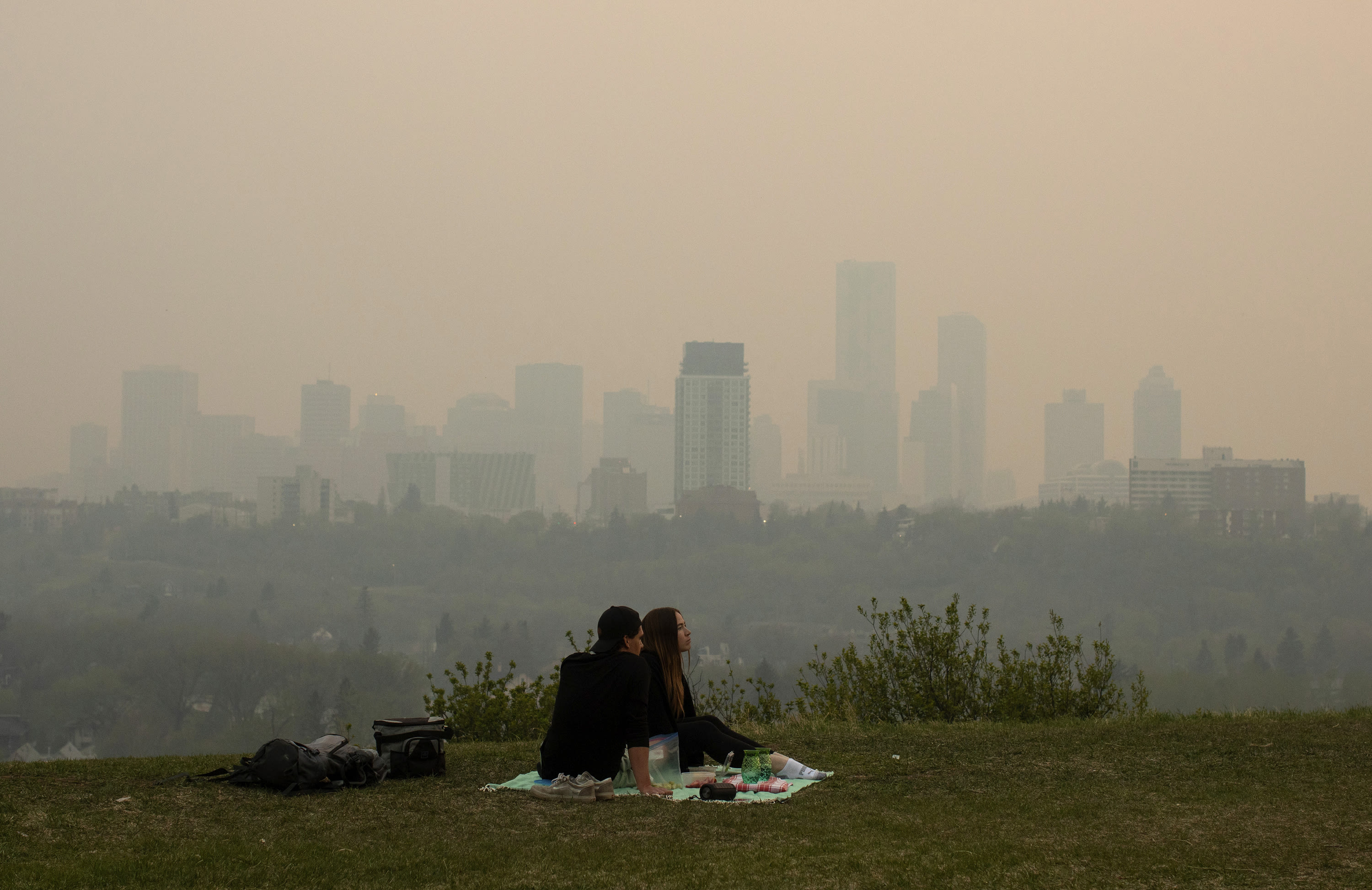
News about Canada, wildfires, evacuation
News about British Columbia, wildfire, Canadian authorities
British Columbia is a beautiful province located on the Western Canada map, bounded by the Pacific Ocean to the west, the U.S. state of Alaska to the northwest, the province of the Yukon to the north, the Northwest Territories to the northeast, Alberta to the east, and the states of Washington, Idaho, and Montana to the south.. The province is known for its stunning natural beauty, with ...
British Columbia. / 54°N 125°W / 54; -125. British Columbia (commonly abbreviated as BC) is the westernmost province of Canada. Situated between the Pacific Ocean and the Rocky Mountains, the province has a diverse geography, with rugged landscapes that include rocky coastlines, sandy beaches, forests, lakes, mountains, inland deserts ...
British Columbia, Canada on a World Wall Map Canada is one of nearly 200 countries illustrated on our Blue Ocean Laminated Map of the World. The Canadian province and territory boundaries are shown on the map along with other political and physical features.


